Open-Canopy: Towards Very High Resolution Forest Monitoring
Apr 15, 2025·,,,,,,,,,,·
0 min read
Fajwel Fogel
Yohann Perron
Nikola Besic
Laurent Saint-André
Agnès Pellissier-Tanon
Martin Schwartz
Thomas Boudras
Ibrahim Fayad
Alexandre D'Aspremont
Loic Landrieu
Phillipe Ciais

Abstract
Estimating canopy height and its changes at meter resolution from satellite imagery is a significant challenge in computer vision with critical environmental applications.
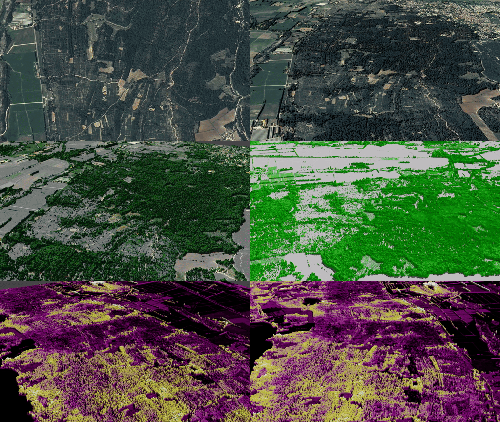
However, the lack of open-access datasets at this resolution hinders the reproducibility and evaluation of models. We introduce Open-Canopy, the first open-access, country-scale benchmark for very high-resolution (1.5 m) canopy height estimation, covering over 87,000 km² across France with 1.5 m resolution satellite imagery and aerial LiDAR data. Additionally, we present Open-Canopy-$\Delta$, a benchmark for canopy height change detection between images from different years at tree level—a challenging task for current computer vision models.
We evaluate state-of-the-art architectures on these benchmarks, highlighting significant challenges and opportunities for improvement. Our datasets and code are publicly available at
.
Type
Publication
CVPR 2025, Spotlight (top 2%)